
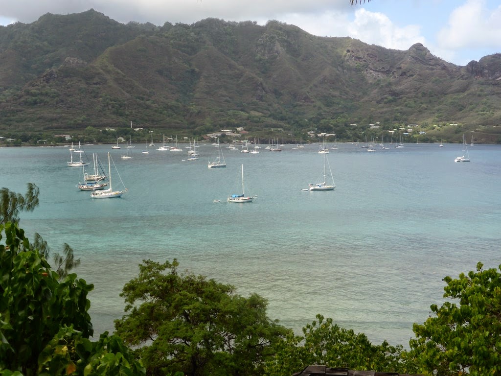
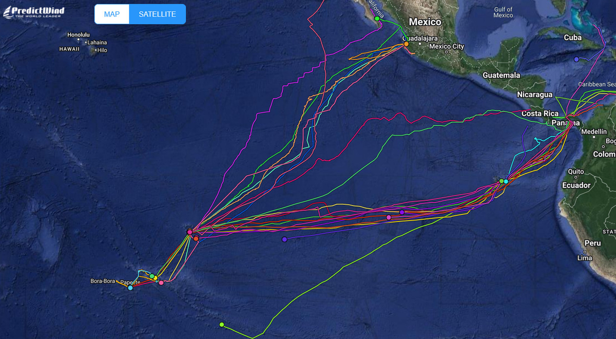
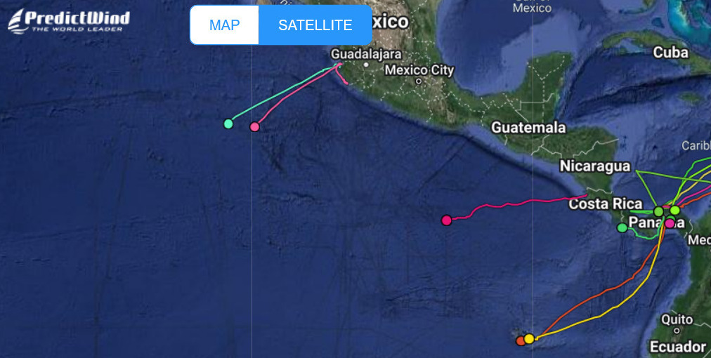
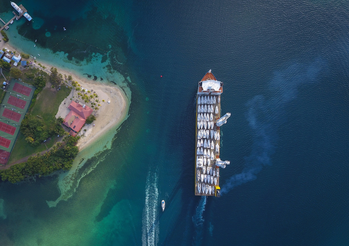
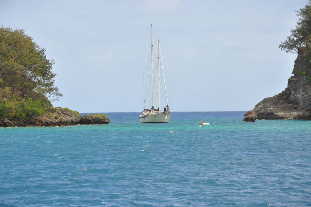
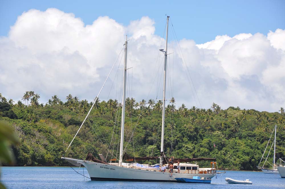
FLEET UPDATE 2022-05-13
|


|


|

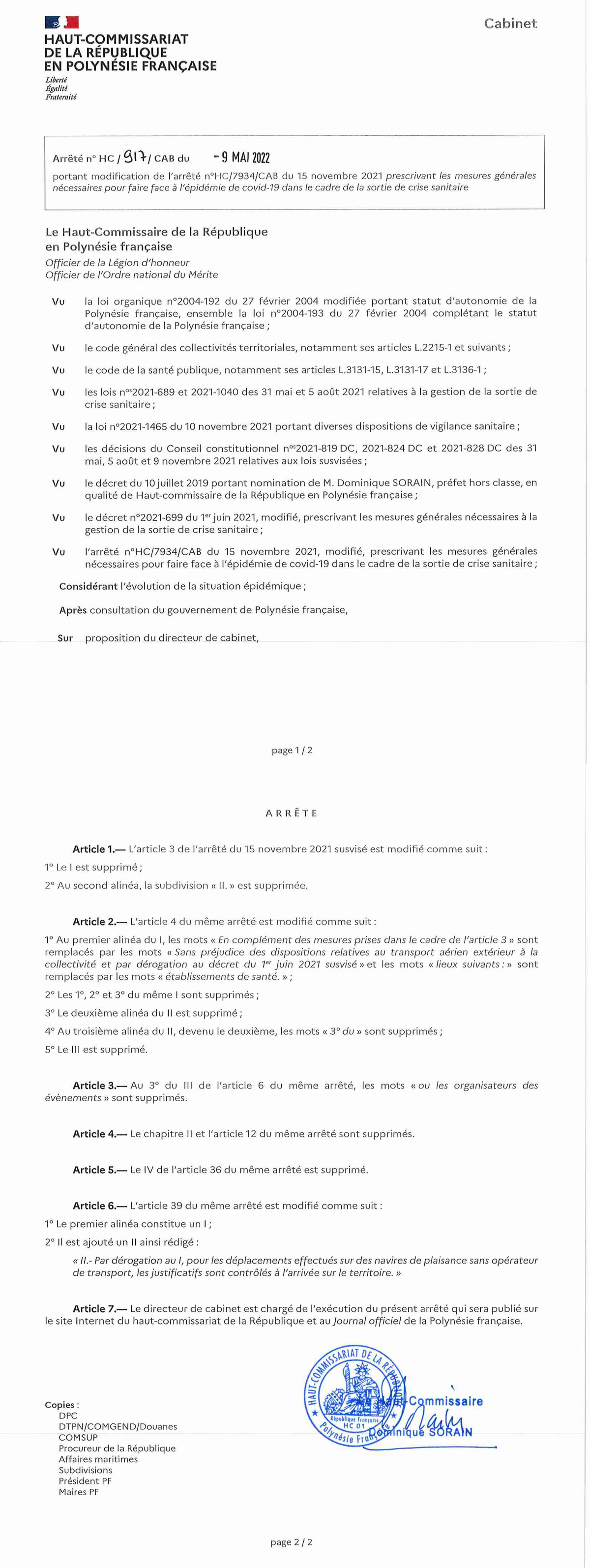
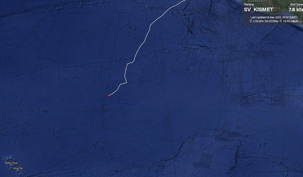
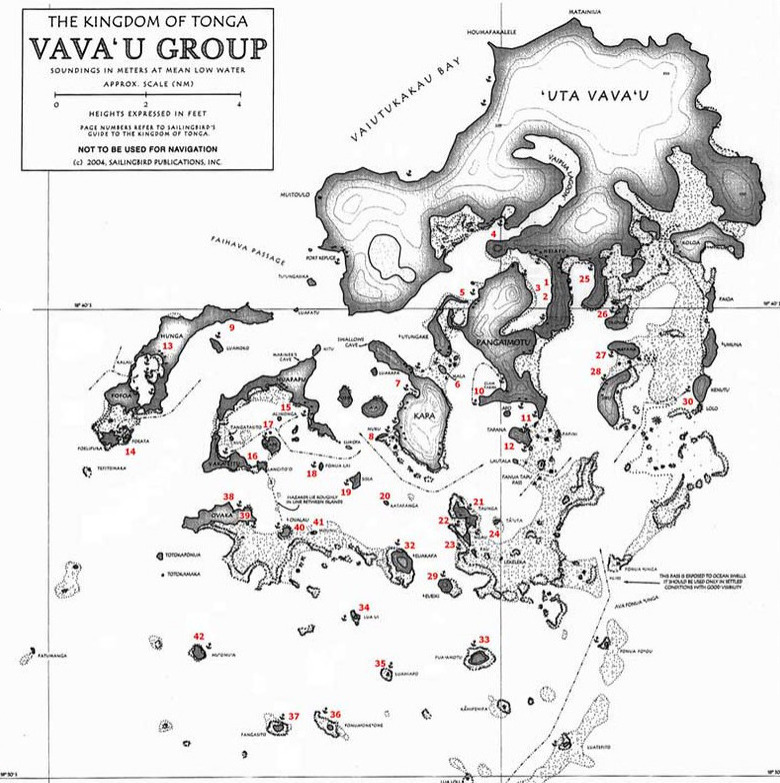
FLEET UPDATE 2022-03-17
|


|


|

🇨🇰 COOK ISLANDS 🏝 15
COOK ISLANDS
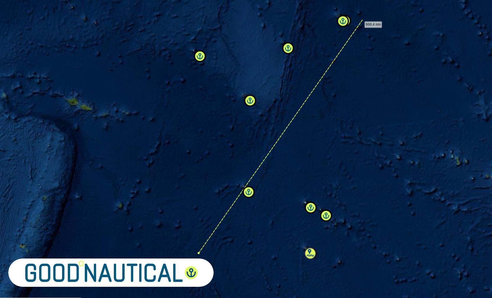
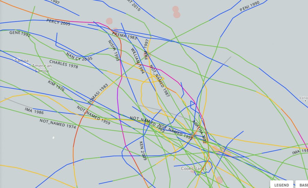
SEVERE WEATHER
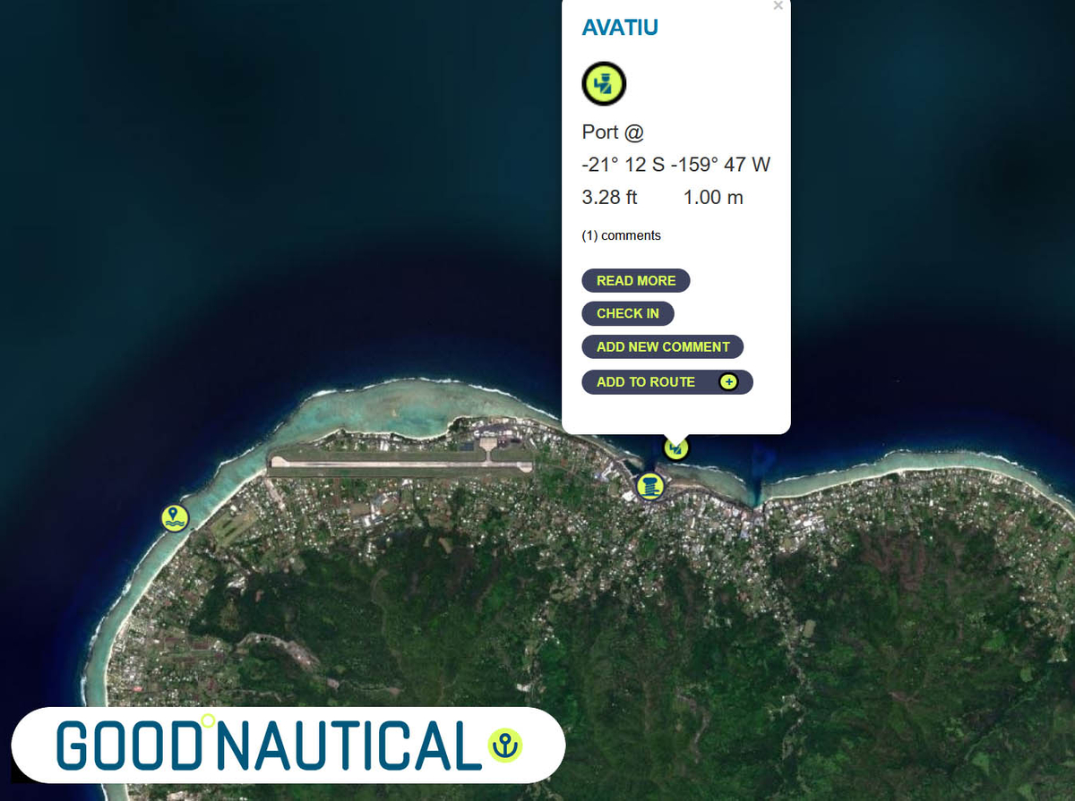
PORTS OF ENTRY
Northern Cooks
Manihiki
Penrhyn
Pukapuka
Suwarrow (tranist ok)
Southern Cooks
Aitutaki
Atiu Island
Rarotonga
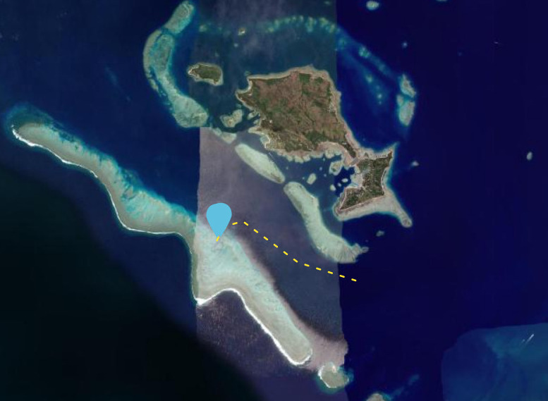
Palmerston (tranist ok)
ENTRY EXIT REQUIREMENTS
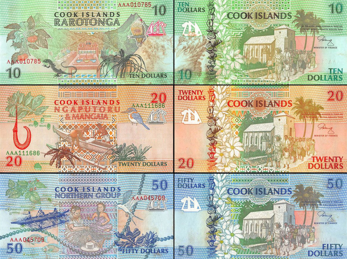
THE COOK ISLAND 3 DOLLAR BILL
|
 American Dollar to
  NZD
NZD 


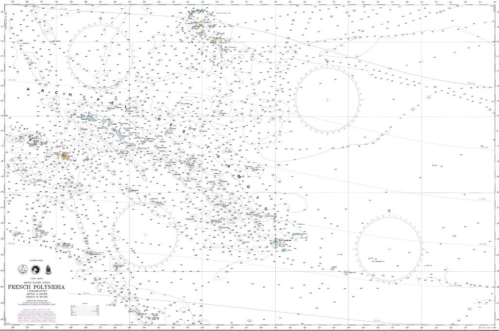
CHARTS
- 93 Cook Islands
- 606 Tonga to Archipel des Tuamotu
- 628 Cook Islands
- 629 Samoa Islands to Northern Cook Islands and Tokelau
- 945 Plans of the Cook Islands – Northern Sheet (Puka Puka, Suwarrow, Manihiki, Penrhyn, Nassau, Rakahanga)
- 955 Plans of the Cook Islands – Southern Sheet (Aitutaki, Palmerston, Mitiaro, Mauke, Manuae, Atiu, Mangaia, Takutea )
- 6880 Des Îles Tonga aux Îles des Tuamotu
- 7369 Des Southern Cook Islands aux Îes de la Société et Australes
- 7246 Polynésie française

EMERGENCY
Police 999
Ambulance or the hospital 998
Fire 996
Non-emergency police 22-499
SAR (SEARCH AND RESCUE)
SRR NEW ZEALAND – 1 Search & Rescue Contacts
JRCC NEW ZEALAND (RCCNZ)
Type: JRCC, Country:
SRR:
Tel: +64 4 577 8030
rccnz@maritimenz.govt.nz
View / Hide More Info
Telephone+64 4 577 8030
Emailrccnz@maritimenz.govt.nz
Fax+64 4 577 8038 alternate fax: 64-4-577-8041
Websitehttp://
INMARSATSat-C (582)451 200 067
Telex
Location-41.1883545, 174.9449921
Notes The NZSRR is bounded to the:
(a) West by meridian 163° 00’E.
(b) East by meridian 131° 00’W.
(c) South to the South Pole.
(d) North by a line joining:
25° 00’S., 163° 00’E.
25° 00’S., 180° 00’W.
05° 00’S., 171° 00’W.
05° 00’S., 157° 00’W.
30° 00’S., 157° 00’W.
30°00’S., 131° 00’W.
Taupo Maritime Radio (ZLM)
Type: CRS, Country:
SRR:
Tel: 64-4-550-5280
maritime@kordia.co.nz
View / Hide More Info
Telephone64-4-550-5280 Please note change to new phone number.
Emailmaritime@kordia.co.nz
Fax64-4-550-4001 Please note change to fax number
INMARSATSat-C (POR) 451 200 067